


Kartalla
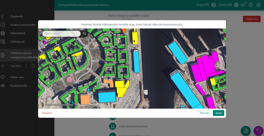
Kartalla is an easy-to-use and visual participatory tool that enables surveying and collecting opinions, desires and feedback as part of spatial planning, decision-making, participatory budgeting, or almost any process imaginable.
Equipped with a range tools for building a large variety of polls and surveys, with map-based interactions or without, Kartalla is your one-stop-shop for interacting with your stakeholders.
Kartalla gives you
- Easy creation of form and map -based questionnaires, polls and voting
- A digitally accessible solution for participation
- Easy integrations to other systems, such as reporting and desktop GIS
- Customizable branding
The Kartalla service is based on a map-based interaction platform jointly developed by Ubigu and the City of Tampere. The service development began for the City of Tampere in 2021.
The aim of the service was to enable local residents to easily provide feedback on plans concerning urban development, to be used by planners and decision-makers. The survey service was originally implemented to meet the needs of general planning in particular, but as a general feedback and survey tool was soon used in many other use cases as well. The tool has been used, among other things, in surveys on participatory budgeting, welfare and wellbeing surveys and the allocation of community funds, which have had respondents in the thousands.
One key driver behind the development of the service was the European Accessibility Act and digital equality. In developing the service, we’ve paid particular attention to meeting accessibility requirements (WCAG 2) and smooth, responsive use on different devices. The service has passed a demanding accessibility audit.
Ubigu has offered the Kartalla service to public administration organizations and companies since 2024. The pricing of the service is based on an organization-specific monthly price. It is also possible to apply one-time pricing to individual inquiries.
Book a demo or ask more on the service:


-

Kaava
Kaava on maankäytön suunnittelijoille kehitetty kaavan laadinnan, kaavarekisterin ylläpidon ja kaava-asianhallinnan ohjelmisto, joka mahdollistaa asema-, yleis- ja maakuntakaavojen intuitiivisen laadinnan uudistuneen lainsäädännön ja kansallisen Ryhti-järjestelmän vaatimusten mukaisesti.
Kaava
-
Spatial data infrastructure as a service
Ubigu offers a reliable and secure geospatial infrastructure as a turnkey service or a customized solution. The package covers key geospatial services and ongoing support, enabling efficient data management.
Spatial data infrastructure as a service


