

Advanced analytics
We love to digest and refine data into easily interpretable and up-to-date information. We support our customers in different facades of analytics, especially those related to spatial data.
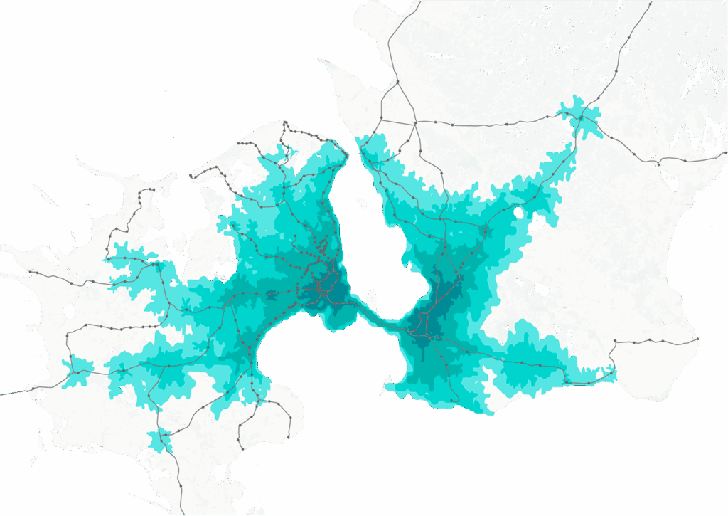
There are two main types of spatial data analytics needs: one-off and continuous. One-off analyses can require a lot of manual data acquisition and processing and specific algorithms. Examples of such could include for instance impact assessments and other study-type reports for complex planning projects.
In principle, however, almost any analysis can be automated and produced in a continuous, repeatable manner. This requires that the data sources are machine-readable and of sufficient quality, and the data infrastructure and information systems have sufficient capacity to perform repeated analytics.
Ubigu’s toolbox includes solutions for both automated analytics and one-off analyses and studies, such as data-based impact assessments of planning projects.
We approach each theme with enthusiastic curiosity and a passion for problem solving. Over the years, we have implemented tools and analyses for our clients for example in:
- land use programming and optimization,
- energy and climate impact scenario evaluation,
- monitoring the development of residential segregation,
- valuing ecosystem services,
- and even modeling the movement of different animal species in changing environments!
As in other themes, we also choose our tools in the field of analytics based on needs. However, the most frequently used systems have been, for example, Python, Databricks, FME, QGIS, PostGIS, Snowflake and ArcGIS.